Sunlight Intensity-based Global Positioning System Library
Contents:
Author
- Isaav Rivero
- Score: 7.5/10
Objective
The Sunlight Intensity-based Global Positioning System (SGPS) is another project I work on. It is based on a system that is able to geolocate objects just by using sunlight information. We have a lot of work done already in this field, therefore a library in order to make easier future developments was implemented.
Results
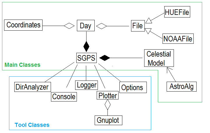
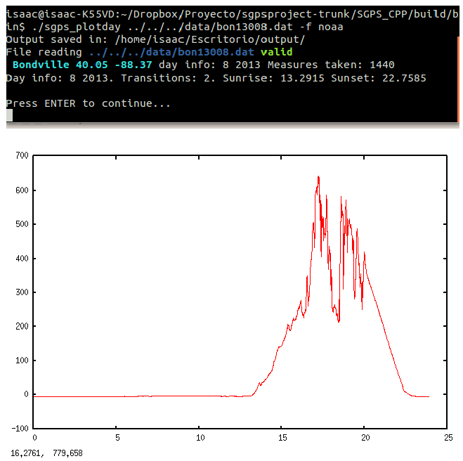
Left - UML class diagram. Right - PlotDay application example.
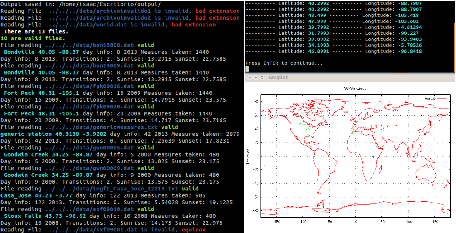
Execution on many different files with graphical output.